Toronto
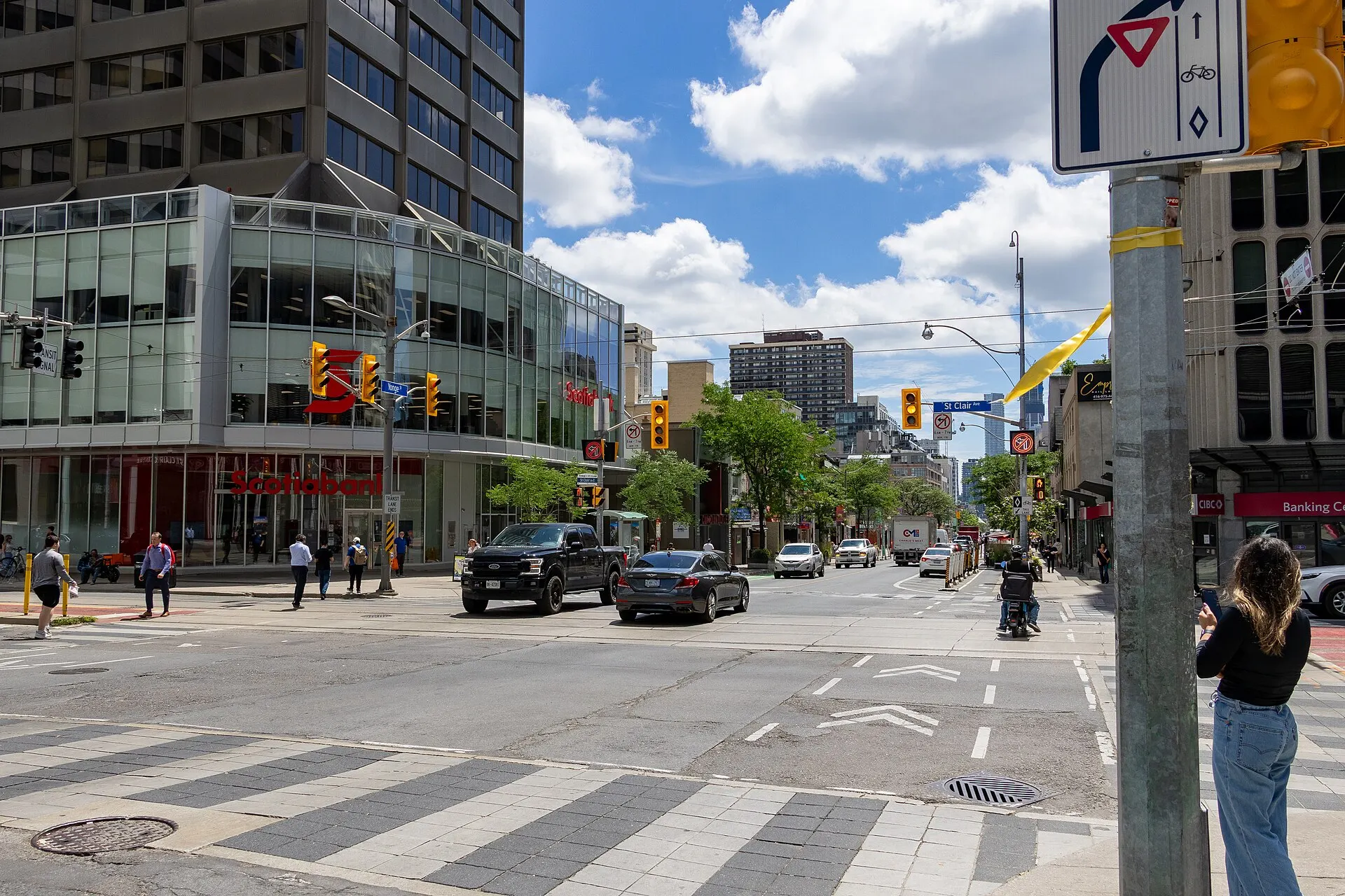
Deer Park's crossroads, above the ravines
Photo: Dillan Payne, CC BY-SA 4.0, via Wikimedia Commons
How Yonge & St. Clair Took Shape
The crossroads grew out of the village of Deer Park, named for the deer kept at the Deer Park Hotel in the 1830s and annexed by Toronto in 1908. Office buildings arrived with the subway, and the intersection has been through a substantial public realm rebuild in recent years.
Day to Day in Yonge & St. Clair
A compact, walkable office and retail node wrapped in residential streets, with the Vale of Avoca ravine a few minutes' walk east and the St. Clair streetcar running west.
Homes in Yonge & St. Clair
Older apartment and condominium buildings on and near the main streets, with Victorian and Edwardian houses on the residential streets behind them.
Why People Choose Yonge & St. Clair
- St. Clair station on Line 1 and the 512 St. Clair streetcar
- Direct access to the Vale of Avoca and Nordheimer ravines
- Offices, groceries and services concentrated at one intersection
Worth Knowing in Yonge & St. Clair
Vale of Avoca RavineDavid A. Balfour ParkMount Pleasant Cemetery
Yonge & St. Clair on the Map