Toronto
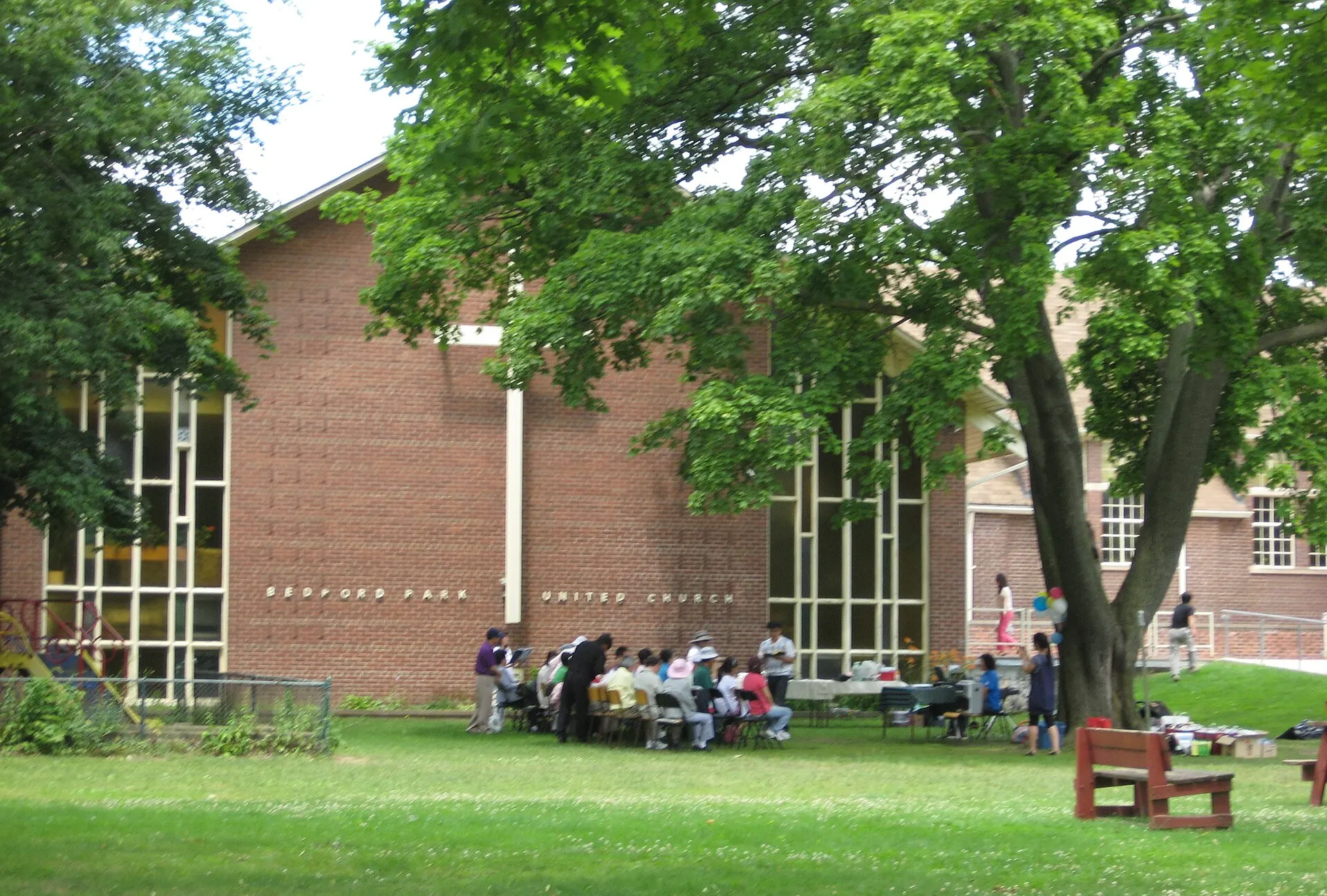
at Yonge and Lawrence in North Toronto
Photo: SimonP, CC BY-SA 3.0, via Wikimedia Commons
How Bedford Park Took Shape
Bedford Park grew up around the old Bedford Park Hotel on Yonge Street, absorbed into North Toronto in the early twentieth century. Much of the original housing stock went up between the 1920s and 1950s, and a long cycle of rebuilding has been reshaping the side streets ever since.
Day to Day in Bedford Park
Life here is organised around schools, parks and the two commercial spines. Avenue Road and Yonge Street carry the shops and services, while the streets between them stay quiet and residential.
Homes in Bedford Park
A mix of original detached and semi-detached houses alongside a steady supply of custom rebuilds. Lot widths vary noticeably street to street, which is worth understanding before you start looking.
Why People Choose Bedford Park
- Walkable to both the Avenue Road and Yonge Street shopping strips
- Well-established public and private school options nearby
- A visible mix of original homes and newer custom builds
Worth Knowing in Bedford Park
Wanless ParkAvenue Road shopsDouglas Greenbelt
Bedford Park on Video
Bedford Park on the Map