Toronto
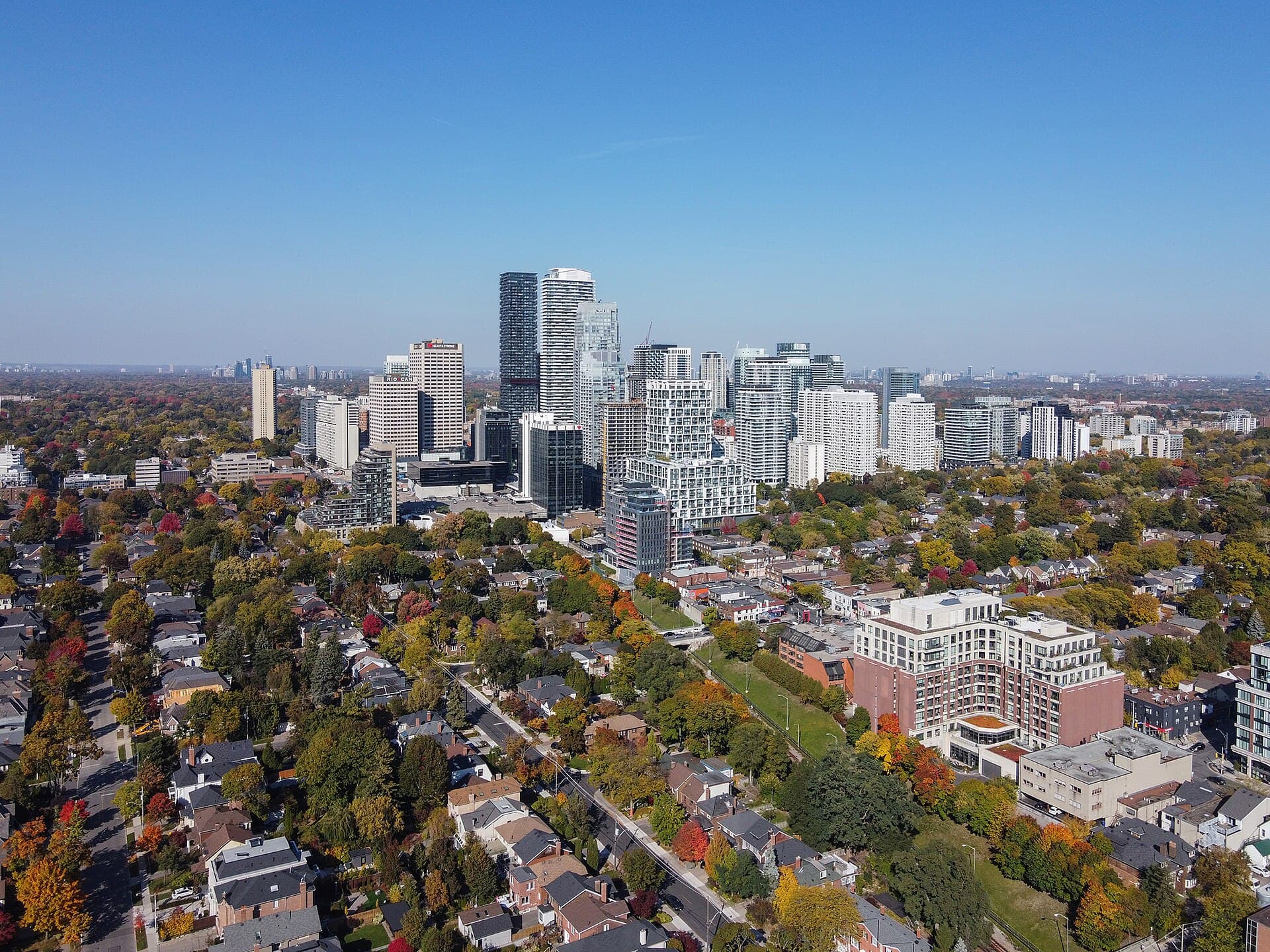
Midtown between Avenue Road and Bayview
Photo: Canmenwalker, CC BY 4.0, via Wikimedia Commons
How North Toronto Took Shape
North Toronto was its own town — incorporated in 1890 out of the villages strung along Yonge Street, annexed by Toronto in 1912 — and the name is still the one people here use. The Yonge subway reached Eglinton in 1954 and turned the crossroads into midtown's commercial centre; the Eglinton Crosstown has brought another round of building to the same corner.
Day to Day in North Toronto
Buyers come to North Toronto for three things in particular: the schools, the transit and the drive. Schools sit inside the boundary on both sides of Yonge, Eglinton station and the Crosstown stops along the southern edge get you downtown or across town without a car, and Avenue Road, Yonge and Bayview all run straight north to the 401. Away from the intersection it is quiet residential street after quiet residential street, with Eglinton Park inside the area and the Beltline running through it. The eastern edge runs up Bayview, round Mount Hope Cemetery and along the western side of Sherwood Park to Blythwood, so the cemetery, the park and the Burke Brook ravine sit just outside it.
Homes in North Toronto
Condominium and rental apartments cluster at Yonge and Eglinton, and detached and semi-detached houses take over within a couple of blocks in every direction — interwar and post-war stock on the side streets, with a steady flow of renovations and rebuilds.
Why People Choose North Toronto
- Eglinton station on Line 1, with the Line 5 Crosstown interchange
- Schools for every grade inside the boundary, on both sides of Yonge
- Avenue Road and Yonge run straight north to the 401
Worth Knowing in North Toronto
North Toronto on the Map


