Toronto
Warehouse blocks turned residential
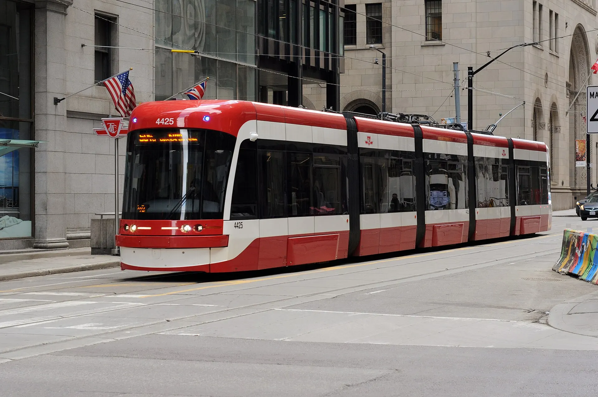
Photo: Milan Suvajac, CC BY-SA 4.0, via Wikimedia Commons
How King West Took Shape
The blocks either side of King Street West were the city's garment and printing district well into the twentieth century. Conversion of the warehouses to residential use began in the 1990s, and new mid-rise and tower construction has continued alongside them since.
Day to Day in King West
Dense, walkable and busy, with restaurants and offices at street level and residential above. The King streetcar runs through the middle of it on a transit priority corridor.
Homes in King West
Loft conversions in the original brick-and-beam warehouses alongside a large supply of newer condominium apartments. Very little of the stock here is freehold.
Why People Choose King West
- Brick-and-beam warehouse conversions alongside new construction
- 504 King streetcar transit priority corridor
- Walking distance to the Financial District and the waterfront
Worth Knowing in King West
Victoria Memorial SquareWellington PlaceThe Well
King West on the Map