Toronto
The city's oldest market and the streets around it
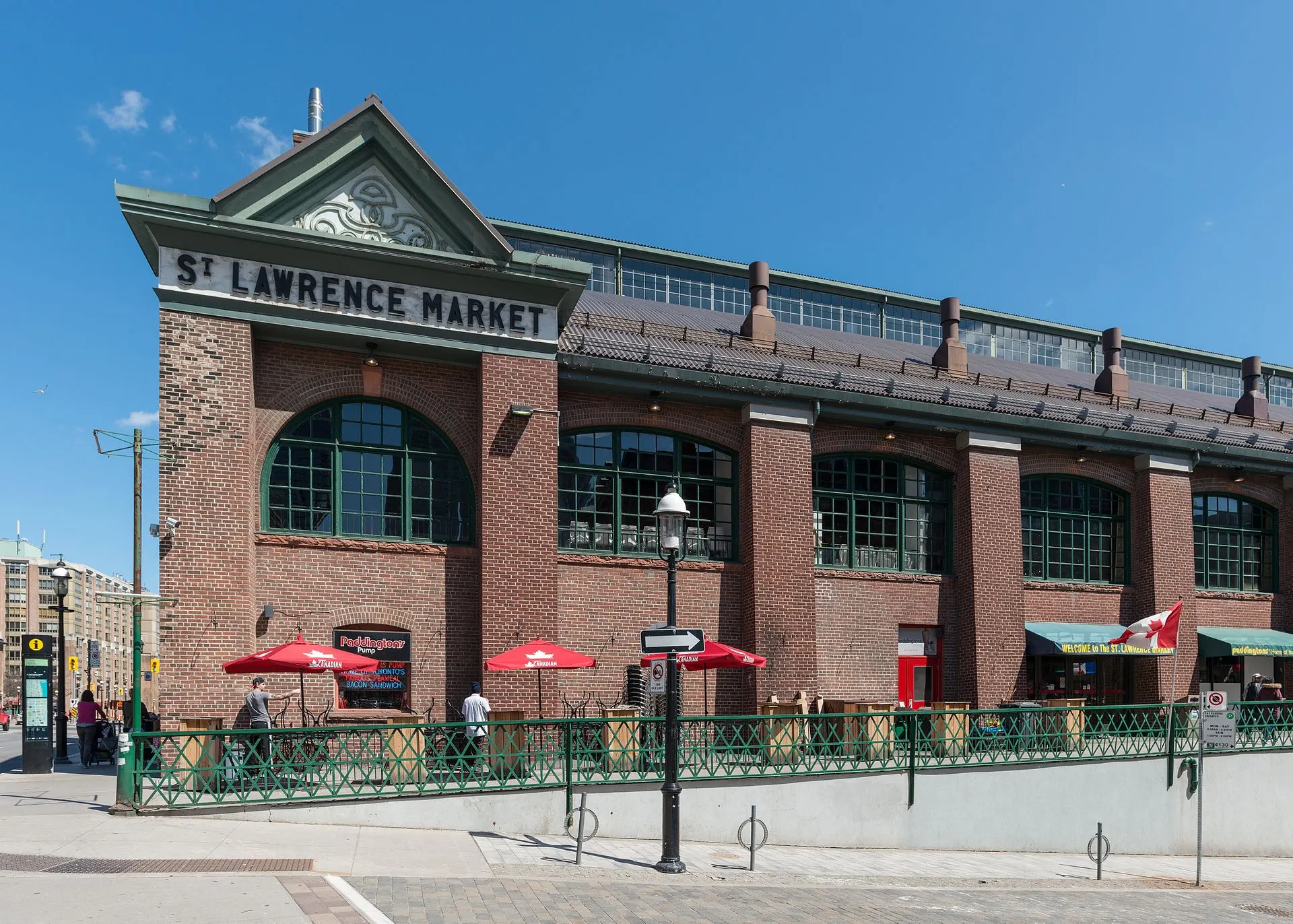
Photo: DXR, CC BY-SA 4.0, via Wikimedia Commons
How St. Lawrence Market Took Shape
This is where the town of York began. A market has operated on the site since 1803; the South Market building dates from 1902 and was built around the 1845 council chamber. The residential blocks north and east were largely rebuilt from the 1970s onward as a planned mixed-income community.
Day to Day in St. Lawrence Market
One of the few genuinely walkable food neighbourhoods downtown, with the market at its centre and a long-established residential population alongside newer condominium buyers. The neighbourhood runs from Front Street down to the rail corridor, between Yonge and Parliament — north of Front is King East, which is its own pocket.
Homes in St. Lawrence Market
A wide range for such a small area: co-operative and non-profit housing from the 1970s and 1980s, warehouse conversions, and newer condominium buildings toward the waterfront.
Why People Choose St. Lawrence Market
- A market operating on the same site since 1803
- Union Station and several streetcar routes within walking distance
- Built out from the 1970s as a planned mixed-income community
Worth Knowing in St. Lawrence Market
St. Lawrence Market on the Map